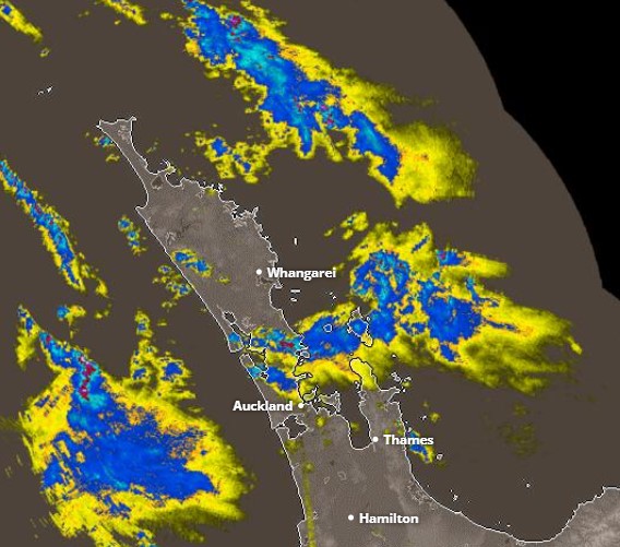
Metservice has issued a weather watch for severe thunderstorms and possible tornadoes for much of the North Island this afternoon, including the Coromandel Peninsula.
The watch is from 2pm until 8pm on Tuesday, April 11 for Auckland, Great Barrier Island, Coromandel Peninsula, Waikato, Waitomo, Taumarunui, Bay of Plenty, Rotorua, Taupo and Taranaki.
Metservice is forecasting rain with heavy falls expected to spread south over the north of the North Island this afternoon. Thunderstorms are expected with the rain.

From Taranaki, across Waitomo and Taupo to the Bay of Plenty and northwards, there is a moderate risk some of the thunderstorms could become severe.
These severe thunderstorms, if they occur, could bring localised downpours with intensities of 25 to 40mm/h, and tornadoes.
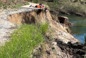
Rainfall of this intensity can cause surface and/or flash flooding, especially about low-lying areas such as streams, rivers or narrow valleys, and may also lead to slips.
Driving conditions will also be hazardous with surface flooding and poor visibility in heavy rain.
Tornadic wind gusts can cause some structural damage, including trees and power lines, and may make driving hazardous. If any tornadoes occur, they will only affect very localised areas.
Should severe weather approach or if you feel threatened, take shelter immediately.