Supplied by the Waikato Regional Council
Citizen science can take shape in many forms – from surveying snow patches, logging rare bird sightings and recording pest plant observations. In the Waikato, residents have been voluntarily providing weather data to contribute to the work of the council’s hydrology scientists.
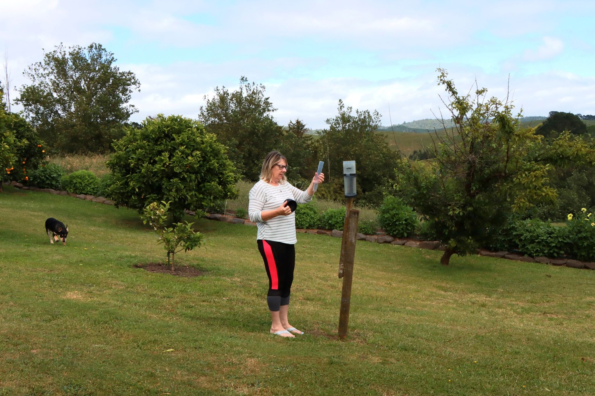
For Hilda Jones, a resident of Ngātea in the Hauraki district, recording daily rainfall has not only unlocked her curiosity for weather, it has opened discussions for comparisons with friends – including a brother in the Shetland Islands, in her home country of Scotland.
“We were recently comparing rainfall from this year. The Shetlands have had an unusually dry year – only 840mm up until the end of November. Whereas, we’re already at around 1400mm,” she said.
With a gauge placed in her garden, Hilda checks measurements at 9am each day and notes them down on a sheet of paper to post monthly to the council’s main office in Hamilton.
“It was something my mother-in-law did. I only started after she passed, so I’ve been doing it for 14 years now. You become very interested in the weather when you do it.”
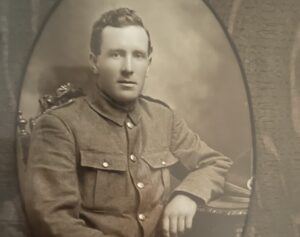
Growing up in the more turbulent microclimate of the islands 170 kilometres northeast of mainland Scotland, her family read the weather using a more analog technique.
“My uncle was the local postman on the Shetland Islands, and everyone in the community would ask him what the weather was going to do. He knew if the wind was going to change or pick up. As children, Dad would always tell us to check with our uncle before taking the boat over to the islands where we had sheep.”

Hilda and 18 other households from right across the region are helping to fill the gaps in the measurements collected from the council’s automatic rainfall readers, of which there are around around 50 in total.
Accumulating a large dataset enables in depth analyses – imagine recording a measurement everyday for five years, that’s 1825 numbers input to a spreadsheet!
As long as data is sourced accurately, the larger the dataset, the closer statistical findings are to reality. These numbers can tell us a lot about our environment.
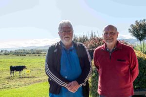
“The manual rainfall network is a useful addition to our datasets,” senior water scientist Bevan Jenkins said.
We have our own network of automated rain gauges, and we also connect in near real time to rain gauges from MetService, NIWA, Fire and Emergency New Zealand, power companies, district councils…
“Much of the council’s network is placed high up in catchments to determine the higher rainfall in the hills that drives floods. The manual reader [volunteer] network by its very nature is where people live.”
This volunteer network has a history that surpasses Waikato Regional Council itself, which was established in 1989. In the Hauraki district, there were at least two rainfall readers recording data in the early 1970s.
Though submitting measurements is not a time intensive task, the commitment is meaningful in its intention to support understanding of local environments; a dedicated effort for the sake of science.
Getting a firmer grip on understanding localised rainfall patterns and the dynamics of our microclimates helps the council steer environmental planning and preparation for future extreme weather events.
As hydrology and groundwater team leader Thomas Wilding says: “What we do as a regional council to manage water resources is ultimately constrained by the amount of water falling from the sky.
“In science reports, you’ll find that many graphs, from river flows to water quality to soil moisture, are all dependent on the nearest rainfall data. You need the rainfall data to understand the pattern you’re seeing.”